Lend consolidation Software
Land consolidation software ver 2
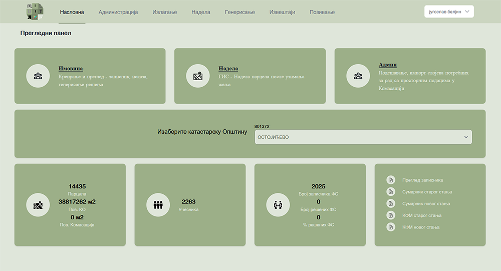
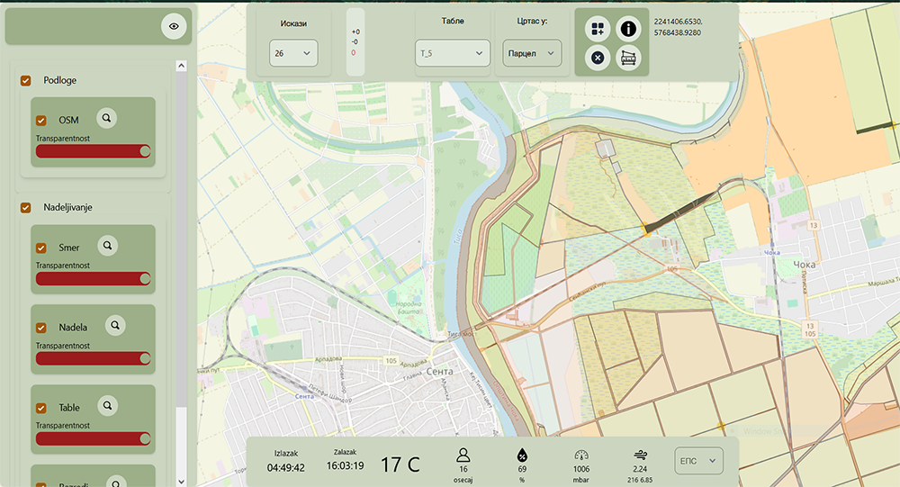
Land consolidation consists of two modules: working with alphanumeric data in the processes of presenting cadastral records, and working with spatial data in the processes of determining land value, as well as the allocation and formation of new parcels. OpenLayer, GIS server, and PostgreSQL database are used for displaying and manipulating spatial data, while the entire interface is developed in Laravel.